
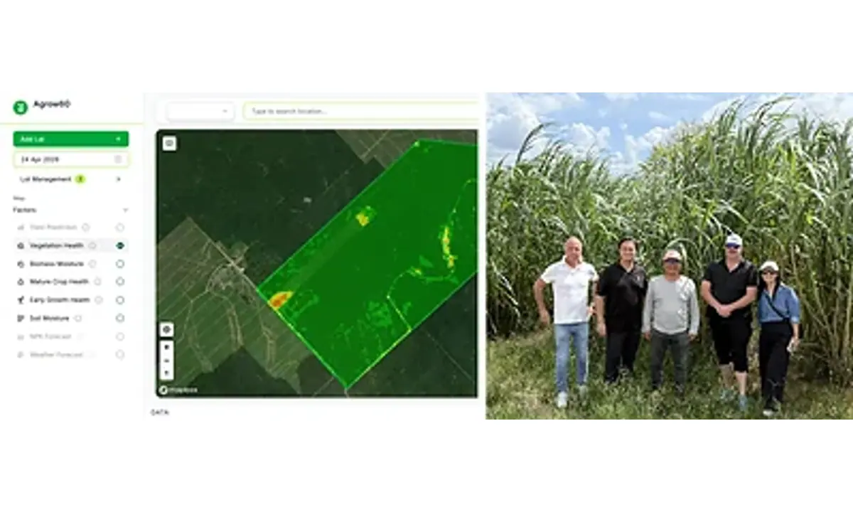
Singapore-based Phi Earth Technologies and Australian Earth-intelligence company LatConnect 60 have formed a partnership to combine satellite observation with field records for nature-based projects. Their initial work will cover biomass and regenerative-agriculture projects in Malaysia and Australia.
The companies plan to connect LatConnect 60’s Earth-observation data with Phi Earth’s digital monitoring, reporting and verification platform. The intended result is a continuous record that compares what satellites detect with measurements collected by project teams on the ground. Phi Earth Technologies via PR Newswire
Nature-based projects often collect data through separate systems. Satellite imagery can show changes across large areas, while field teams record crop, soil and operational conditions at specific sites. When those records are not linked, developers and investors have a harder time checking whether reported progress matches observed conditions.
Phi Earth and LatConnect 60 say their combined system will support projects from planning through ongoing monitoring, rather than measuring outcomes only after work is complete. Field observations are intended to validate satellite-derived findings, while the satellite layer gives project teams a broader view of changing conditions.
The first applications include napier grass, sweet sorghum and agave. That gives the partners several crop environments in which to test how well the combined data approach works. The announcement does not name individual project owners, acreage, contract values or verified environmental outcomes, so those remain important limits on the current evidence.
For Malaysia’s climate and agricultural technology market, the partnership is relevant because credible measurement is a practical constraint on financing and operating nature-based projects. Investors and project developers need records that are detailed enough for operational decisions and consistent enough for environmental reporting.
The planned digital twin is best understood as a linked representation of project conditions rather than a substitute for physical inspection. Satellite data can provide repeat observations over a wide area, while field measurements can explain what is happening at specific locations. Each source can help test the other, but the quality of the result will depend on sensor coverage, field-sampling methods and how discrepancies are handled.
Malaysia is part of the initial operating scope rather than a distant expansion target. That gives the partnership a direct Southeast Asian application from the outset. The selected crops also matter because biomass and regenerative-agriculture projects have different growth patterns and monitoring needs, giving the system more than one type of environment in which to be assessed.
The announcement sets out the partners’ intended operating model, but not yet the frequency of observations, the standards used for verification or the organisations that will rely on the records. Those details will determine whether the combined data can support decisions beyond the project teams themselves, including financing, assurance and environmental reporting.
The collaboration brings together two different layers of that infrastructure: remote observation and field-level evidence. Its value will depend on whether the partners can show that the linked data improves project decisions, reduces verification gaps and produces reliable records across live Malaysian sites.
What we checked
Phi Earth Technologies via PR Newswire
Image credit: Phi Earth Technologies and LatConnect 60.